Dutch Heightmap
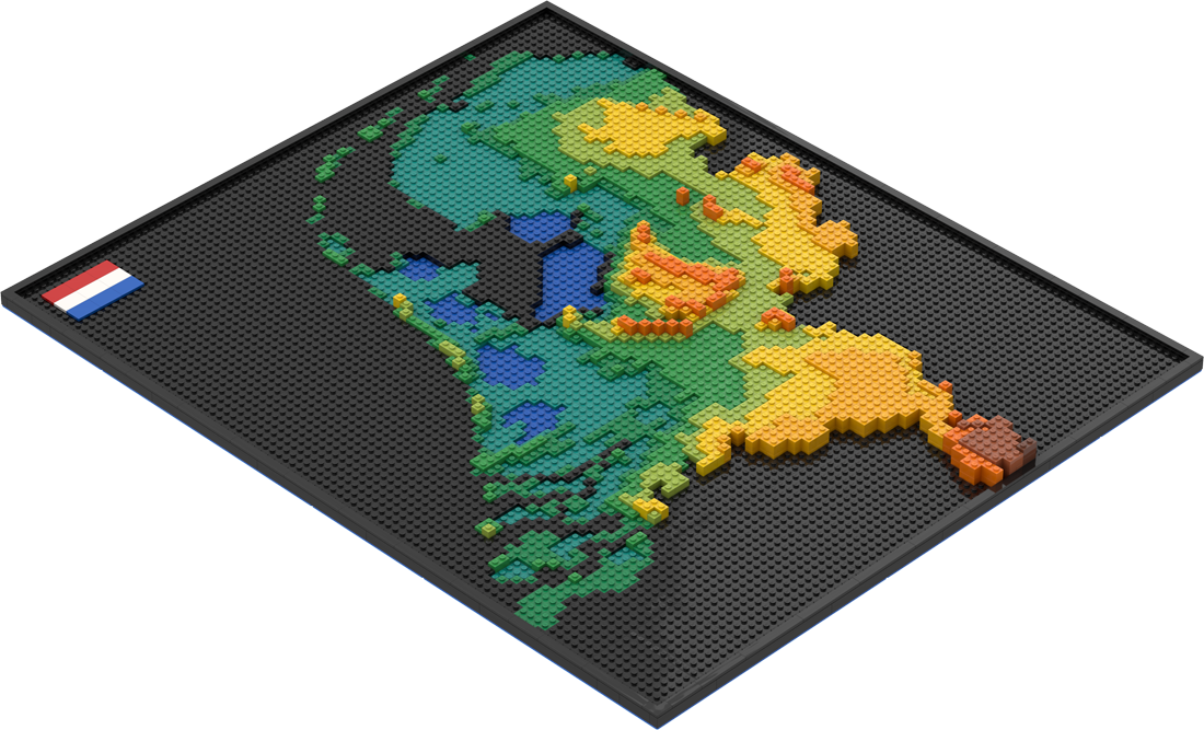
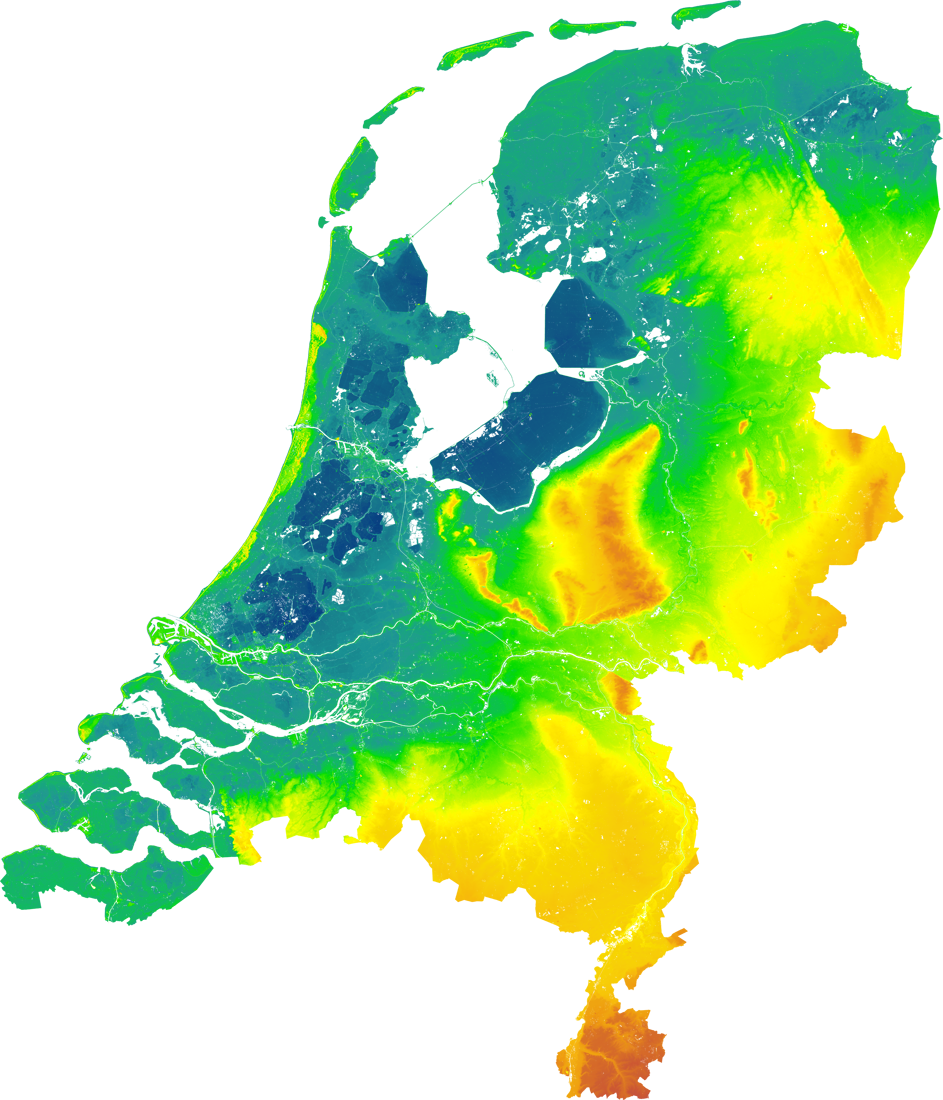
After the World Map it was time to go Dutch. So I created a Lego Dutch Heightmap in 3D. The map is 80x96 studs and contains 1731 pieces. The last image is the source image for the height information and color codes.
Because a large part of Holland is below the sea level I wanted this to be represented in the design. The blue baseplate are the lowest area's below sea level (between 4 and 8 meters) and then the Dark Turquoise layer is still below sea level (-4mmeters and above). Then green is sea level etc.
So in order to make Dark Turquoise lower than the sea level, the Black plates have a double layer to get the correct height. This can best be seen at the Ijsselmeer and Flevoland.
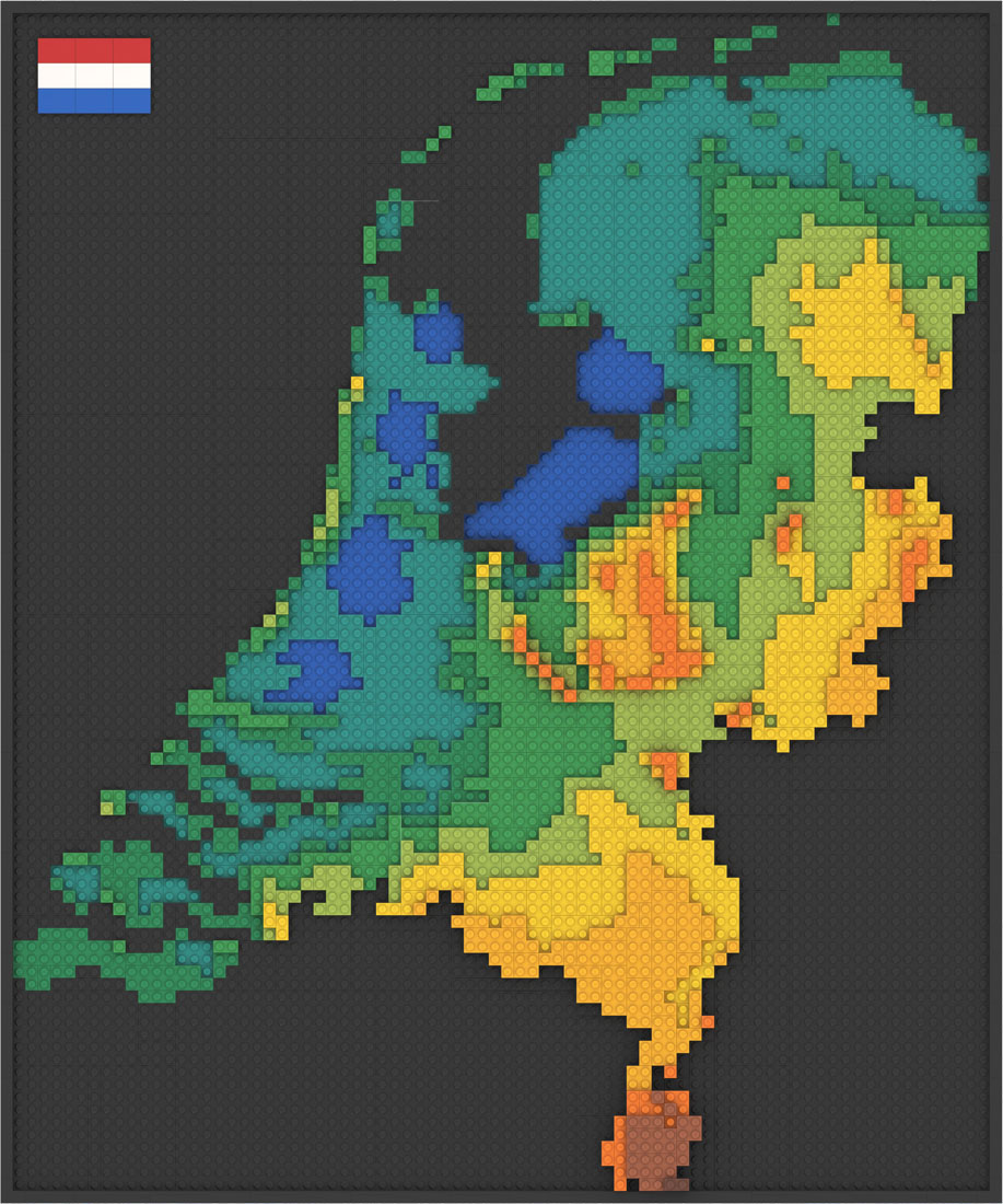
I also made a 2D version.
Na de Wereldkaart was het tijd voor wat Nederlands. Ik heb dus de Nederlandse Hoogtekaart in 3D Lego gemaakt. De map is 80x96 studs en bevat 1731 steentjes.
Omdat een groot deel van Nederland onder zeeniveau ligt wou ik dat ook terug laten komen in het design. De blauwe basisplaten zijn de laagst gelegen delen onder zeeniveau (tussen 4 en 8 meter) en dan Donker Turkoois is ook nog onder zeeniveau (-4 mmeter en hoger). Groen is zeeniveau etc.
Om daarom de Donker Turkoois laag lager te maken dan zeeniveau hebben de Zwarte platen een dubbele laag om de correcte hoogte te krijgen. Dit kan je het beste zien bij het Ijsselmeer en Flevoland.
Er is ook een 2D versie beschikbaar.
| Parts: | 1.731 | |
| Colors: | 15 | |
| Dimensions: |
80,0 x 96,0 x 4,0 64,0 x 76,8 x 3,2 25,2 x 30,2 x 1,3 |
(studs) (cm) (inch) |
| Weight: |
2.909 102,6 |
(gram) (ounce) |
| Costs: |
≅ 200 ~ 300 ≅ 200 ~ 300 |
(euro) (dollar) |
| Steentjes: | 1.731 | |
| KLeuren: | 15 | |
| Afmetingen: |
80,0 x 96,0 x 4,0 64,0 x 76,8 x 3,2 25,2 x 30,2 x 1,3 |
(studs) (cm) (inch) |
| Gewicht: |
2.909 102,6 |
(gram) (ons) |
| Prijs: |
≅ 200 ~ 300 ≅ 200 ~ 300 |
(euro) (dollar) |


